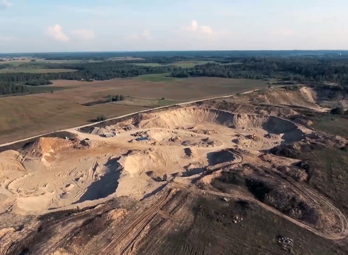
Cadastral surveys and topographical photographs
Our team has carried out a topographic survey of the production area of UAB Naujoji Rūta, covering a total area of approximately 10 ha.
The average time to prepare a topographic photo is two weeks. This period includes:
Collection of data on engineering networks (communications) from the responsible organisations;
Geodetic surveys of the site;
Preparation of drawings;
Coordination of the plans with the organisations maintaining the utilities and with the municipality in whose territory the plot is located.
We work professionally and smoothly, ensuring that all procedures are carried out in accordance with the applicable requirements. Contact us – we will take care of all the necessary documentation and measurements!